File:Europe map.jpg
Jump to navigation
Jump to search
No higher resolution available.
Europe_map.jpg (588 × 562 pixels, file size: 60 KB, MIME type: image/jpeg)

|
Mr. T says: "This image is in Public Domain. Use it for whatever you want, foo'!" |
This is a former Featured Image that has been voted off the island. — Sadly, it just didn't age well.
It is still considered a Featured Image, but it will no longer appear on the Main Page. |
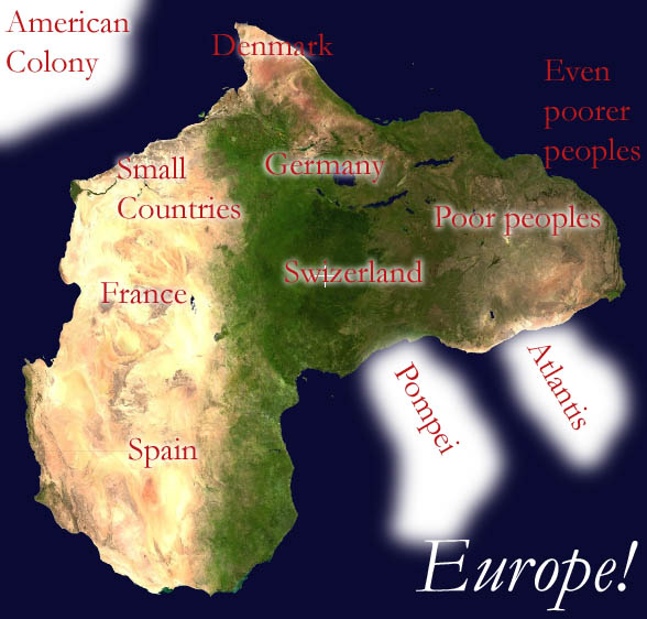
Data source: NASA World Wind.
Facts and nothing but facts. This up-to-date and informative map is something you can rely on.
File history
Click on a date/time to view the file as it appeared at that time.
| Date/Time | Thumbnail | Dimensions | User | Comment | |
|---|---|---|---|---|---|
| current | 05:57, 27 September 2005 | | 588 × 562 (60 KB) | Un-Toytoy (talk | contribs) | |
| 05:37, 27 September 2005 |  | 600 × 600 (110 KB) | Un-Toytoy (talk | contribs) | {{PD}} Redrawn after Image:Thekarolinaisland.jpg. Facts corrected. This up-to-date and informative map is what you can rely on. |
You cannot overwrite this file.
File usage
The following 2 pages use this file: